
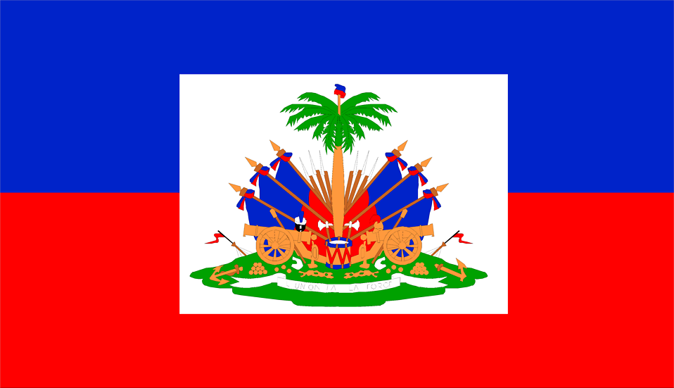
Haiti
Union is our Strength
About Haiti
Haiti occupies the western portion of the island of Hispaniola in the Caribbean Sea. It shares the island with the Dominican Republic to the east. The country is largely mountainous, with fertile valleys and coastal plains. Haiti’s landscape includes tropical forests, rivers, and a long coastline with many bays and beaches.
About Haiti
Key facts
Date of Membership in CARICOM: 1 Jul 2002 Also Known as:The Pearl of the Caribbean Status of Independence:Independent 2001/12/13
Area: 27,750 square kilometres (10,714 square miles)
Capital City: Port-au-Prince
Population: 10.32 million (2013)
Currency: Gourde dollars
Highest National Award: (National order of Honour and Merit of the Grand Cross and Golden Plaque)
Economy
GDP: 21,177Mn (2012) GDP Growth: 2.8% 2013 - 14 GNI: : 17.7 billion PPP dollars (2013) GNI PC: US4 1,730 GDP per Capita: EC$530 million (1996)
Key dates in history
1492 Arrival of Columbus on island called `Quisqueya’ by Tiano (Arawak) Indians; renames its `Isla Hispaniola’ 1697 Island divided, western one third originally called AYITI (Land of high ground) by Arawaks and Caribs; ceded to France – called `Ste Domingue’ 1791 Slave revolt begins against France 1804 Independence achieved. Jean-Jacques Dessalines, first ruler; renames it Haiti, based on original name 1915- 34 American invasion and occupation 1957 Dr Francois Duvalier (Papa Doc) elected President 1986 Era of Dr. Francois Duvalier’s dictatorship ends 1990 First free presidential elections, Fr. Jean-Bertrand Aristide elected 1991 Aristide overthrown by army 1994 Aristide returned to power under US and CARICOM protection
Key Dates in History
-
1804
Haiti becomes first Black republic in the Caribbean.
-
1997
Haiti admitted provisionally to CARICOM.
-
2002
Haiti becomes full member of CARICOM.
-
2004
CARICOM involved in diplomatic response to Haiti political crisis.
-
2010
Regional response mobilised after Haiti earthquake.
-
2011
CARICOM supports Haiti reconstruction initiatives.
-
2015
Haiti advances integration within regional institutions.
-
2020
Participates in CARICOM public health coordination.
-
2023
CARICOM intensifies engagement on Haiti security and governance issues.
-
2024
CARICOM facilitates transitional governance discussions for Haiti.